Blog>Trade>The benefits of drone surveying in construction
Last updated: 3 April 2024

The benefits of drone surveying in construction
Drone surveying and mapping is becoming more common in the construction industry, but what is it, how is it used, and is it accurate? Outlined below are some handy insights into the benefits of drone surveying for construction.
What is drone surveying and mapping?
Drone surveying and mapping uses a drone and specialist cameras to survey an area from overhead. A construction drone survey will provide critical information to help make informed decisions regarding planning, design, construction, and more.
Results from construction drone surveys are typically presented in the form of highly accurate videos, photos, 3D representations, and detailed reports.
Along with being accurate and detailed, drone surveying for construction can safely access high-risk, difficult-to-reach areas with ease and speed.
There are countless ways in which drones can be helpful when surveying landscapes and property. Below are eight different ways in which drone surveying for construction may be used:

The applications of drone surveying and mapping include:
Roof inspections
Building surveys
Site inspections
Land surveying
Thermal inspections
Solar farm inspections
360 Virtual Reality walkthroughs for the interiors of properties, for example, for use in real estate and hospitality
Promotional videos and photos for marketing use
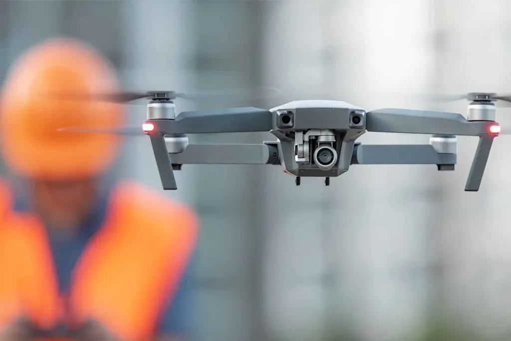
How is drone surveying used in construction?
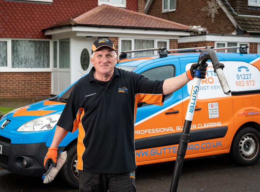
Drone surveying for construction is incredibly useful, saving contractors time and money while making the surveying process much more efficient. Mark Elliott of S4G Drone Services explains how his company is able to collaborate with other tradespeople:
"I was surveying a roof for a customer who needed thermal photography evidence of the root cause of a leak. I provided accurate data and images to support their case - and spotted the cause which wasn't as obvious as it may have seemed nor visible to the naked eye.
"During the job, some tradespeople got chatting with me, I explained that I can survey all elements of a roof, small or large and at height (the one I was doing was over 3 stories). Completing the work on-site in about 3hrs and delivering the 'evidence' within 48hrs.
"They asked me whether I could fly roofs they think need redoing, or the customer thinks need looking at, and provide the information so they can evidence why and how their roofing company could help the customer?
"I told them I could, without ladders or scaffolds, in a rapid turnaround time and with detail that would give the customer confidence that the works are required.
"They took my business card and have been in touch since with work that's now planned."
Want to collaborate with trusted tradespeople?
Join our members-only, Checkatrade trades community
Four ways to use drone surveying for your business
Drone surveying is useful for many trades, including building developers, property management, architects, land developers, and construction site managers.
Outlined below are four different ways in which drone surveying may be able to help you in your trade:
1. Drone site survey
A construction drone survey takes accurate measurements of a site from an aerial view. It can be helpful in high-risk areas, such as railway lines, bridges, or on rough terrains where access is difficult.
On top of this, they're also used when site managers need progress reports when a surveyor requires accurate measurements, or for thermal investigations. Site measurements taken from a drone can include distance, depth, volume, and pitch and visual models can also be produced.
To learn more about site safety and insurance policies, why not take a look at our blog on construction insurance.
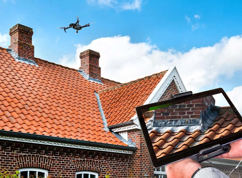
2. Drone roof survey
A drone roof survey eliminates the need for scaffolding, allowing conditions to be inspected using accurate video and image reports.
The results are typically available on the same day, getting the job done quickly, efficiently, and in a cost-effective way.
It even allows contractors to appoint a roofing company, rather than opting for the one that was willing to erect scaffolding.
3. Drone land survey
A land survey often covers a vast area and can take days or weeks to complete.
Traditionally, a land survey involves a fair amount of equipment. And this often has to be carried over challenging terrain.
A drone land survey, however, can complete aerial mapping of the land using less equipment, time, and money. Drone land surveys also offer surveyors a safer and more efficient means to obtain the accurate data they need.
You could equally use drones for a less invasive way to survey landfill areas.
4. Drone building survey
Drone building surveys can inspect conditions without the need for scaffolding, zooming in on areas such as brickwork, leadwork, or asbestos.
They're even useful for property owners, leasehold tenants, chartered surveyors, consultants, local councils, and religious organisations.
These surveys help with restoration plans, repair work on landmarks, and inspections of hard-to-reach structures, or vast buildings on industrial sites.
Build your construction business with Checkatrade
We're the UK's biggest digital directory for trusted tradespeople.
Is drone surveying accurate?
Yes, drone surveying is very accurate. It has to be in order to help with planning applications, budgeting for material costs, and assessing land borders.
The accuracy of a drone survey can be narrowed down to +/-1cm.
This does, however, depend on the drone being used. As well as the accompanying equipment and processing software.

Boost your construction business with Checkatrade
Drone surveying for construction can offer real-time tracking, gather key information, and increase construction site safety.
You should always look for a company that is fully qualified and insured.
Drone surveying can also be helpful when creating marketing material for your construction management company.
And don't forget, Checkatrade is also here to help boost your construction business. From free marketing material to member benefits and discounts, get in touch today to learn more about signing up.
Want to collaborate with trusted tradespeople?
Join our members-only, Checkatrade trades community
Drone Surveying FAQs
How much area can a drone survey?
Drones can cover huge expanses of land quickly and efficiently. Most modern drones cover up to about 100 acres of land on one charge. However, long-range drones will go even further.
Content disclaimer: This content has been created for general information purposes and should not be taken as formal advice. Read our full disclaimer here.